Biological Nutrients

Biological Nutrients

Biological Nutrients

10/03/26

“What are biological nutrients, and why are they so important for organic life?”

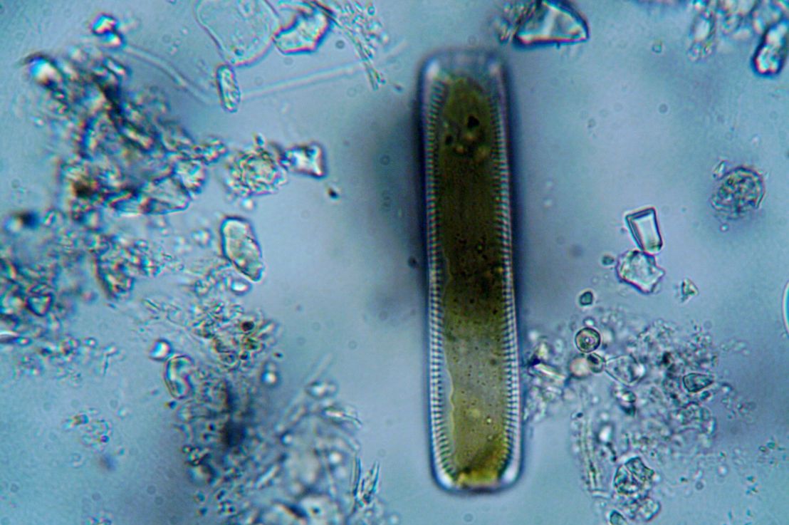
Organic life is the foundation of our ecological world. Organic life requires the Biological Nutrients of nitrogen (N), phosphorus (P), potassium (K), calcium (Ca), magnesium (Mg), sulfur (S), and silicon (Si) to function. Microorganisms in water/wastewater treatment systems need the incoming water/wastewater to have a certain amount of biological nutrients to grow properly.

Solids Loading

Solids Loading

Solids Loading

10/02/26

“How can we quantify the rate of solid material loaded onto a unit area or volume?”

Many processes involve loading solids onto a specific area or volume, such as sludge onto a clarifier. To help quantify this variable, people define the rate of mass loaded per unit area or volume as the Solids Loading. Solids loading is especially helpful in water and wastewater treatment engineering, where people use it to determine the capacity a treatment component can handle.

Federal Dam (Hudson River)

Federal Dam (Hudson River)

Federal Dam (Hudson River)

10/01/26

“What marks the end of tidal influence in the Hudson River?”

The Hudson River is a fascinating piece of geography. The upper portion runs like a normal river, while the lower portion is a tidally influenced estuary. But what marks this point? Well, over 100 years ago, the federal U.S. government built the Federal Dam to control the transition from the lower to upper portions of the Hudson River.

Image credit: https://encrypted-tbn0.gstatic.com/

The Hudson Highlands

The Hudson Highlands

The Hudson Highlands

09/29/26

“What are the mountains that surround the Hudson River?”

The Hudson River is New York State’s longest river. Surrounding the Hudson in Putnam and Orange Counties in New York State are The Hudson Highlands, a patch of mountains that are a subrange of the Appalachians. The Indigenous Lenape people are the rightful stewards of the Hudson Highlands.

The Hudson River

The Hudson River

The Hudson River

09/28/26

“What’s so special about New York City’s main river?”

New York City is a metropolis built off water (and stolen Indigenous land/Black labor). Its main river, The Hudson River, has some very special properties. Originating from Henderson lake in the Adirondack Mountains, the Hudson river darts out around 507 km/315 miles through New York State to the Atlantic Ocean. The Indigenous Munssee People called the lower portion of the Hudson (starting from around what’s now Albany) Muhheacannituck, or “the waters that are never still” or, less rigidly, “the river that flows two ways” since the subriver is a tidal estuary. Specifically, Muhheacannituck/the lower Hudson has two high tides and two low tides a day, reversing direction four times a day/every six hours. The Hudson River connects with the Erie Canal to Lake Erie, allowing for sea-based transportation from the Midwest. During the Ice Age, the Hudson River went on for much longer, as evidenced by the Hudson Shelf Valley and the Hudson Canyon.

The Hudson Canyon

The Hudson Canyon

The Hudson Canyon

09/27/26

“How is it that a submarine trench rivaling the Grand Canyon is directly related to the Hudson River?”

The Hudson River Valley extends underwater through the Hudson Shelf Valley. At the far end of the Hudson Shelf Valley is The Hudson Canyon. The Hudson Canyon is a biodiversity hotspot reaching Grand Canyon-rivaling depths of up to 3,500 meters/10,500 feet below sea level. Concerned individuals are advocating to designate the Hudson Canyon as a National Marine Sanctuary, which you can learn about here.

Image credit: https://encrypted-tbn0.gstatic.com/

The Hudson Shelf Valley

The Hudson Shelf Valley

The Hudson Shelf Valley

09/26/26

“How does the Hudson Valley extend underwater?”

The Hudson River is one of the most iconic parts of the U.S. East Coast. However, it doesn’t just stop when it reaches the ocean. The Hudson Shelf Valley is the submerged portion of the Hudson River Valley that extends for around 150 km. The Hudson Shelf Valley marks the central axis of the New York – New Jersey Bight.

Image credit: https://upload.wikimedia.org/

The New York – New Jersey Bight

The New York – New Jersey Bight

The New York – New Jersey Bight

09/25/26

“Why does the coast of the greater NYC area curve sharply as you go from New Jersey to Long Island?”

If you travel the shoreline of the greater NYC region from the Cape May Inlet in New Jersey to Montauk Point in eastern Long Island, you’ll find that the coast has a definite curve as the New Jersey coast runs north-south and New York runs east-west. This curve forms The New York – New Jersey Bight. The New York – New Jersey Bight defines the waters of the greater NYC region, home to the largest port on the U.S. East Coast. The sharp bend in the New York – New Jersey Bight can trap hurricanes and lead to catastrophic flooding, such as Hurricane Sandy in 2012. The powerful winds from the Gulf Stream give the New York – New Jersey Bight a temperate climate and strong offshore wind energy potential.