Category: Engineering

Why Marketing Living With Water Policies Can Help With Their Adoption

Why Marketing Living With Water Policies Can Help With Their Adoption

Why Marketing Living With Water Policies Can Help With Their Adoption

10/24/23

“Why can marketing living with water policies help with their adoption?”

Living with water policies emphasizes accepting that certain areas will flood during storms instead of trying to control everything. While it might seem nerve-wracking at first, properly designed systems are some of the safest options possible. Marketing this to people will help break down the fear surrounding it. This is Why Marketing Living With Water Policies Can Help With Their Adoption. An example of this can be found with Plan Ooievaar (Plan Stork) in the Netherlands.

Why Rainstorms Can Decrease Street Economic Activity

Why Rainstorms Can Decrease Street Economic Activity

Why Rainstorms Can Decrease Street Economic Activity

10/21/23

“Why can rainstorms decrease street economic activity?”

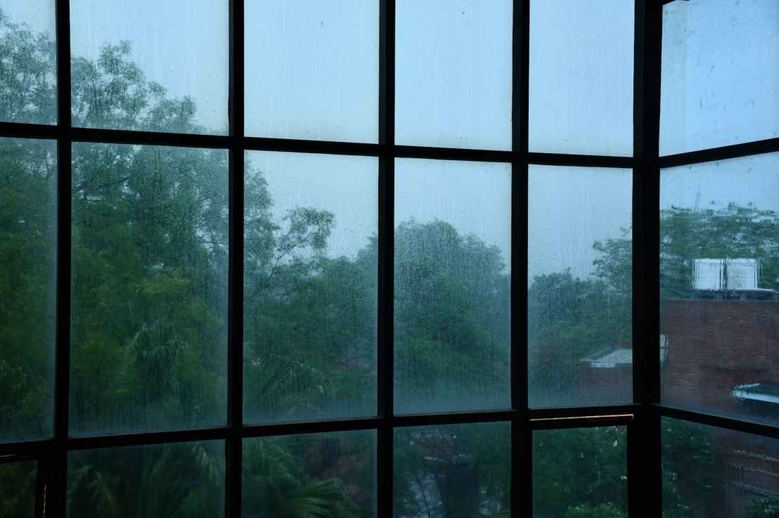
In countries all over the world, streets are vibrant hubs of economic activity. However, when rainstorms happen, people head inside to stay dry. This causes economic activity to fall as people don’t purchase items. This is Why Rainstorms Can Decrease Street Economic Activity.

Why Knowing Watershed Boundaries is Critical to Planning Flood Evacuations

Why Knowing Watershed Boundaries is Critical to Planning Flood Evacuations

Why Knowing Watershed Boundaries is Critical to Planning Flood Evacuations

10/06/23

“Why is knowing watershed boundaries critical to planning flood evacuations?”

Watershed boundaries determine where water will flow in a certain geography. This information is critical during floods since water will gather in the specified directions. Emergency planners can create escape routes based on avoiding water inundation. This is Why Knowing Watershed Boundaries is Critical to Planning Flood Evacuations.

Why Climate Adaptation Planners Should Assist Cities With Large Numbers of Displaced People 

Why Climate Adaptation Planners Should Assist Cities With Large Numbers of Displaced People 

Why Climate Adaptation Planners Should Assist Cities With Large Numbers of Displaced People 

10/05/23

“Why should climate adaptation planners assist cities with large numbers of displaced people?”

Climate adaptation planners concentrate on making cities safer from global warming. Much of this involves working with people who have been displaced or are under the threat of displacement. One way to study pathways to become successful is to assist cities that currently hold large numbers of displaced people. This is Why Climate Adaptation Planners Should Assist Cities With Large Numbers of Displaced People.

Water Reservoir Mapping

Water Reservoir Mapping

Water Reservoir Mapping

10/04/23

“How can we map the locations of water reservoirs?”

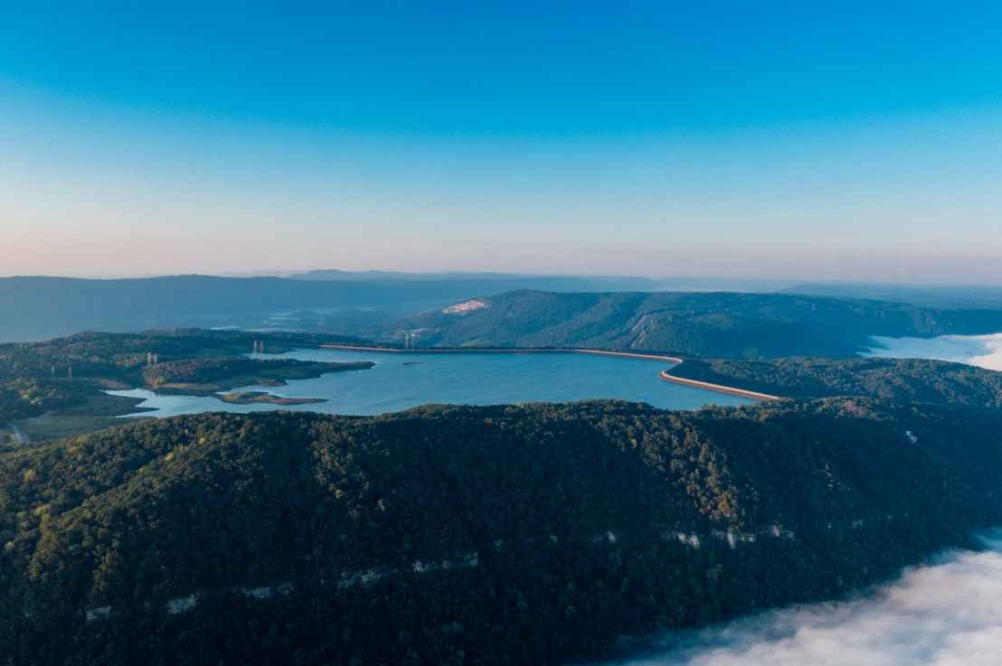
Water reservoirs are an essential life source for people. As such, knowing their location is critically important. We can perform Water Reservoir Mapping in a variety of ways, from satellite images to GIS visualizations to hand drawing.

 Designated Water-Holding Zones for Floods

 Designated Water-Holding Zones for Floods

 Designated Water-Holding Zones for Floods

10/02/23

“How can we designate water-holding zones for floods?”

The advent of climate change is making floods worse and worse. Some areas are bound to be flooded periodically. While many efforts have gone into holding water back, what if we were to instead allow it to flow into certain areas? By creating Designated Water-Holding Zones for Floods we can save people from water damage without wasting too many resources. 

Why Coloring Contour Lines by Elevation Makes Topographic Maps Much Easier to Read

Why Coloring Contour Lines by Elevation Makes Topographic Maps Much Easier to Read

Why Coloring Contour Lines by Elevation Makes Topographic Maps Much Easier to Read

09/23/23

“Why does coloring contour lines by elevation make topographic maps much easier to read?”

Contour lines let readers know where different elevations lie on a topographic map. However, they can be hard to distinguish, making them especially difficult to read in dense mountainous areas. But if we color them based on elevation, then it becomes much clearer where the different elevation features are on the map. This is Why Coloring Contour Lines by Elevation Makes Topographic Maps Much Easier to Read.