Stream Banks
06/14/25
“How do we classify the land by streams?”
Streams flow from one place to another. The land bordering streams, also known as Stream Banks, have a symbiotic relationship with the bodies of water.
"Wisdom begins in wonder" – Socrates
Author: Isaac Gendler

Stream Banks
06/14/25
“How do we classify the land by streams?”
Streams flow from one place to another. The land bordering streams, also known as Stream Banks, have a symbiotic relationship with the bodies of water.
Stream Beds
06/13/25
“What makes the bottom of streams so special?”
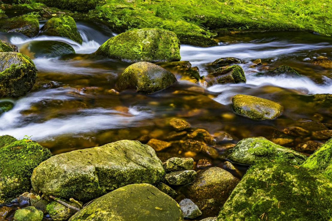
Streams carry water throughout a particular geography. The bottom of a stream, known as a Stream Bed, influences how the stream moves. For example, if a stream bed is more rocky, then it will protect against flooding, but can lead to extra sedimentation. Plant life can also occur on stream beds.

Watershed Democracy
06/12/25
“What if we were to use watershed boundaries for political boundaries?”
Most political boundaries will bisect watersheds. This makes watershed and environmental management much more difficult because multiple actors need to come together to make decisions, and communities within the same watershed are divided. So what if we were to base political boundaries on watershed boundaries? This concept, called Watershed Democracy, allows for much better water resource use, environmental management, climate adaptation, and community engagement.

Artificial Groundwater Recharge
06/11/25
“How can we recharge groundwater supplies using human-built infrastructure?”
Infrastructure operators need to maintain groundwater supplies at sustainable levels. Sometimes, demand is so high that groundwater levels will collapse if no external intervention is taken. Infrastructure operators can undertake Artificial Groundwater Recharge using human-built mechanisms such as recycling treated wastewater and stormwater.

River Meandering
06/10/25
“Why do rivers curve?”
Rivers carry water from one source to another. Sometimes, the rivers run straight. But other times, the land on one side of the river offers less resistance than the other. This makes it easier for the river to bend towards this side. When that happens, more water will flow to that side, and less to the other, creating a bulge in the side of less resistance. The water will then slam harder into the other side after moving through the bulge, creating a sinusoidal bulge pattern for the river. This River Meandering is a fundamental part of how rivers affect local landscapes.

The Kalahari Basin
06/09/25
“What makes the Kalahari Basin in Southern Africa so special?”
The Kalahari Desert is a marvel to see, with its brilliant orange sands stretching over vast plains. And right in the center of it is The Kalahari Basin, an endorheic basin inhabited by complex life.

Endorheic Basins
06/08/25
“How do we classify watersheds that don’t drain into an ocean?”
Most watersheds drain into an ocean. However, sometimes a watershed does not. These inland watersheds, known as Endorheic Basins, are self-contained watersheds that never leave the landmass they’re on. Examples of endorheic basins include the Caspian Sea in Central Asia and the Tarim Basin in East Turkestan.

Fossil Water
06/07/25
“How do we classify groundwater that’s been contained for thousands of years?”
Confined aquifers can hold groundwater for large periods of time. Groundwater that’s been confined for millennia is known as Fossil Water. Large fossil water aquifers are found in the Eastern Sahara Desert in Northern Africa, the Kalahari Desert in Southern Africa, and the High Plains in the Central U.S. Fossil water is typically non-renewable, so people need to conserve the water carefully.

Cloud Bases
06/06/25
“How do we describe the base of a cloud?”
Clouds come in all shapes and sizes. But how do we describe their lowest visible parts? Well, just like the beginning of any structure is called a “base”, the lowest visible region of a cloud is termed a Cloud Base. Cloud bases are measured as the distance from mean sea level or the Earth’s surface.

